Cunningham Falls State Park offers some of the best hikes around Frederick, MD. This state park is a gem for outdoor enthusiasts residing in or visiting Frederick.
One of the top hikes in Cunningham Falls is the Misery Trail to Cat Rock. This moderately challenging hike rewards you with seclusion, stunning canopies of ferns, and a rocky scramble to the summit.
Contents: The Misery Trail to Cat Rock Hike
Overview of The Misery Trail Hike to Cat Rock
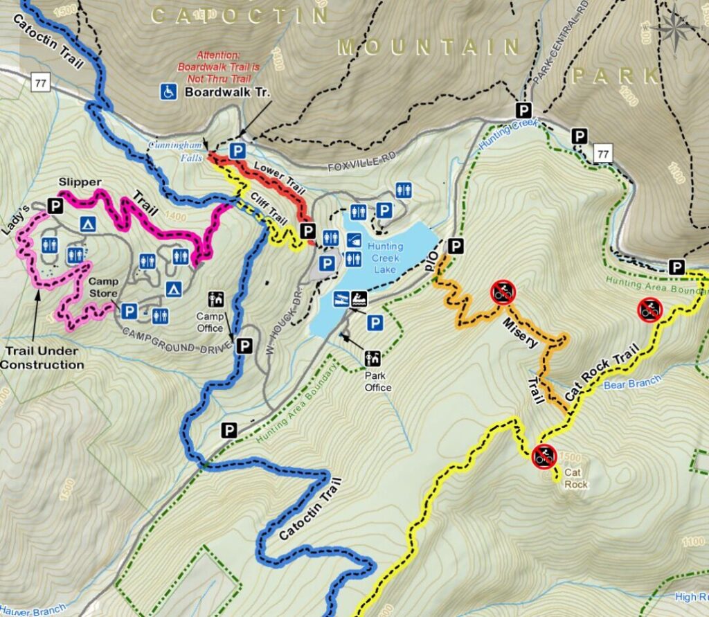
Cunningham Falls State Park is just west of Thurmont, about 25 minutes north of Frederick. It’s a mixed-use area with lots of hikes, a lake, a beach, camping, and plenty of picnic areas.
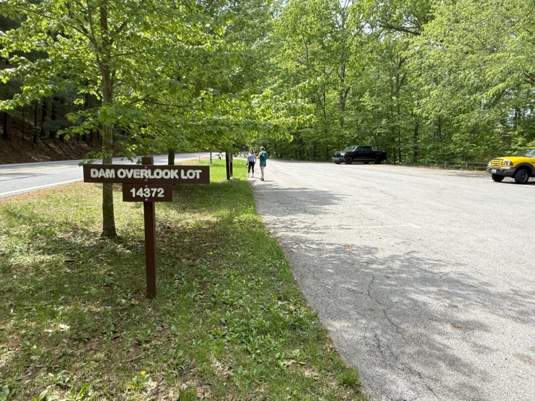
There are plenty of great hikes, but this particular hike begins at the Dam Overlook Lot on Catoctin Hollow Road just south of Route 77.
The parking lot and trailhead are not mapped in Google Maps (at least that I could find), but I’ve dropped a pin here.
- Trailhead: Dam Overlook Parking Lot – Catoctin Hollow Road just south of route 77.
- Alltrails: Link
- Distance From Frederick: ~18 miles, 25 Minutes
- Fee and Passes: Free, no pass needed
- Parking: Dam Overlook Parking Lot, ~10 spaces
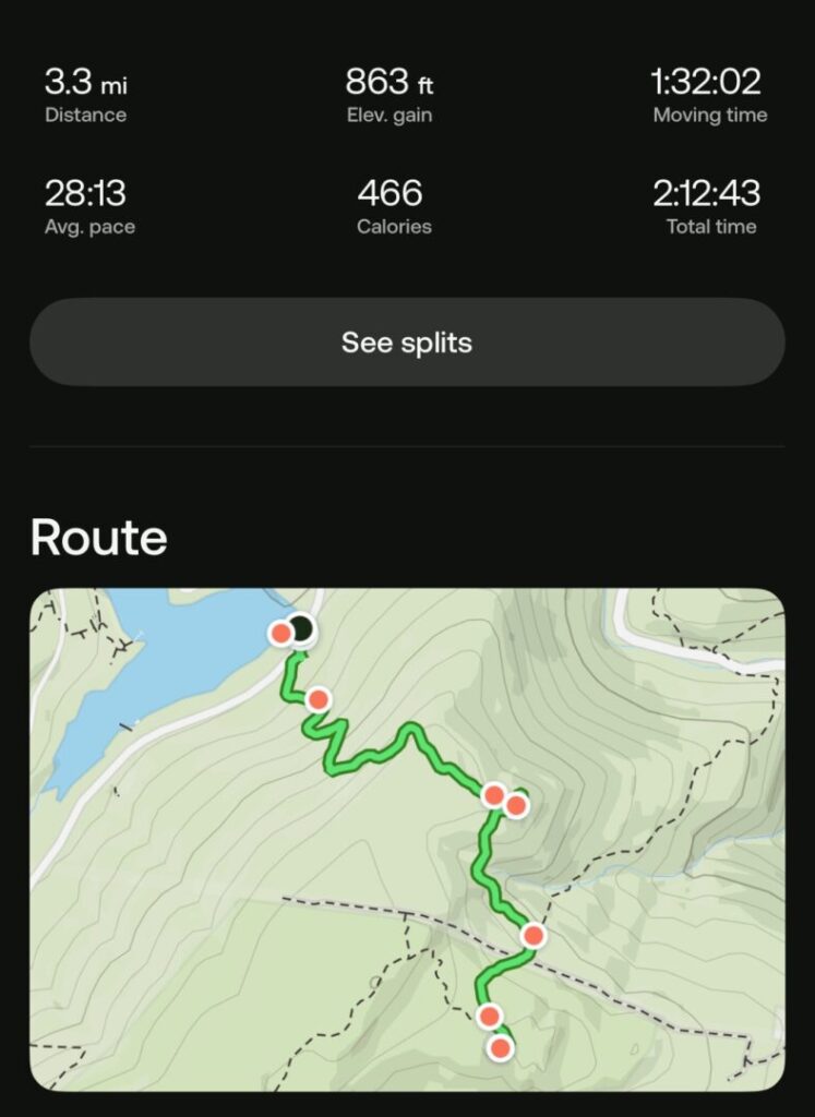
- Total Distance: 3.3 Miles Out and Back
- Duration: ~2.5 Hours
- Elevation Gain: 866 feet
- Difficulty: Moderate (strenuous rock scramble at top)
- Dog Friendly: Yes, permitted on leesh
Getting to the Trailhead and Parking
You’ll likely be entering Cunningham Falls State Park from Thurmont on route 77. After traveling a few miles in the park, turn left on Catoctin Hallow Road.
The Dam Overlook Lot is about 0.5 miles on your right, clearly marked. There’s usually plenty of parking here, even on busy days.
The trailhead is also clearly marked just across the road (be careful crossing).
Hiking in Up to Cat Rock: Know Before You Go
- This is considered a moderate hike. It is ~3.3 miles long and has a decent climb, especially the first mile.
- The rock scramble at the top is quite difficult. There’s no real trail to the Cat Rock summit.
- You can do this hike with kids, but they’ll have to endure 860 feet of elevation gain and be closely supervised at the summit rock scramble.
- This hike generally takes us ~2-2.5 hours to complete.
- Wear quality footwear. Hiking shoes or boots are preferable. Sneakers are okay, but sandals or flip-flops won’t work.
- Take plenty of water. There is no water on the trail.
- This trail is closed to bikes.
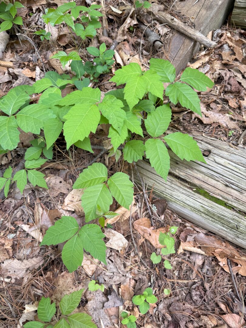
- We saw a significant amount of poison ivy next to the trail at the beginning (not much further up)
- Pets are allowed on leash
The Initial Climb
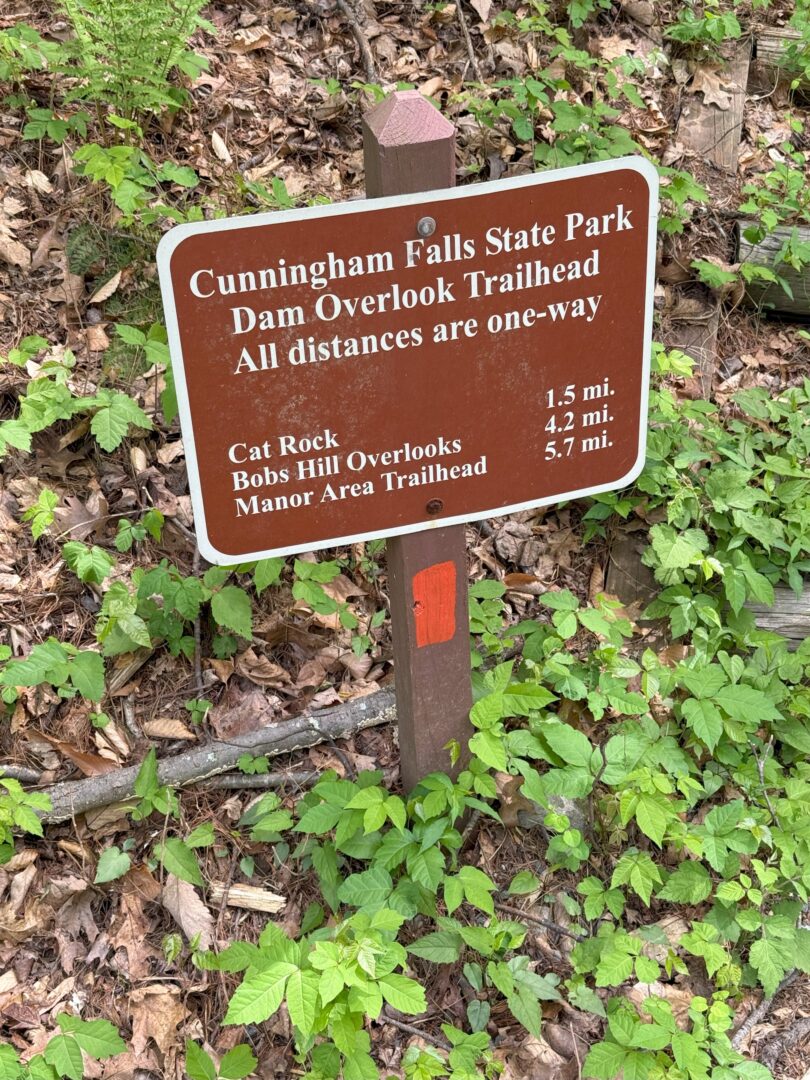
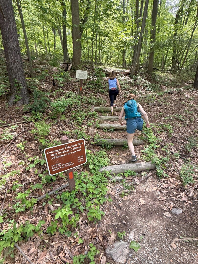
The trailhead sign is somewhat confusing as it labels this trail as the ‘Dam Overlook Trailhead’, where as most maps call it ‘Misery Trail’. They are apparently the same thing.
This trail is marked by orange/red blazes.
You’ll spend the first 45 minutes climbing via switchbacks. I’d call it moderately strenous. The woods are thick and the solitude comes quickly.

We last did this hike on Mother’s Day, a busy day for Cunningham Falls. We were struck how few people we saw on the trail, which was peaceful and enjoyable.
Beautiful Forest Beds of Ferns
The trail evens out at the top of the ridge. You then begin to notice the vegetation (in spring and summer), especially the endless ferns that cover the forest floor.

After a little over a mile (1 hour), you’ll cross the intersection with the Cat Rock trail. This is the alternate trail that climbs to Cat Rock, also a recommended hike in Cunningham Falls.

Skip Through 'Power Line' Alley
A few minutes before reaching the summit you’ll come into a clearing that’s been made to allow power lines to traverse across the mountain.

It’s a real eyesore, precisely the kind of thing the Stop MPRP effort is fighting to prevent from happening across a very long stretch of Maryland.
Simply hike across quickly and get back to the peaceful forest.
The Cat Rock Summit
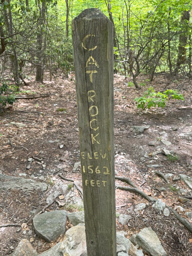
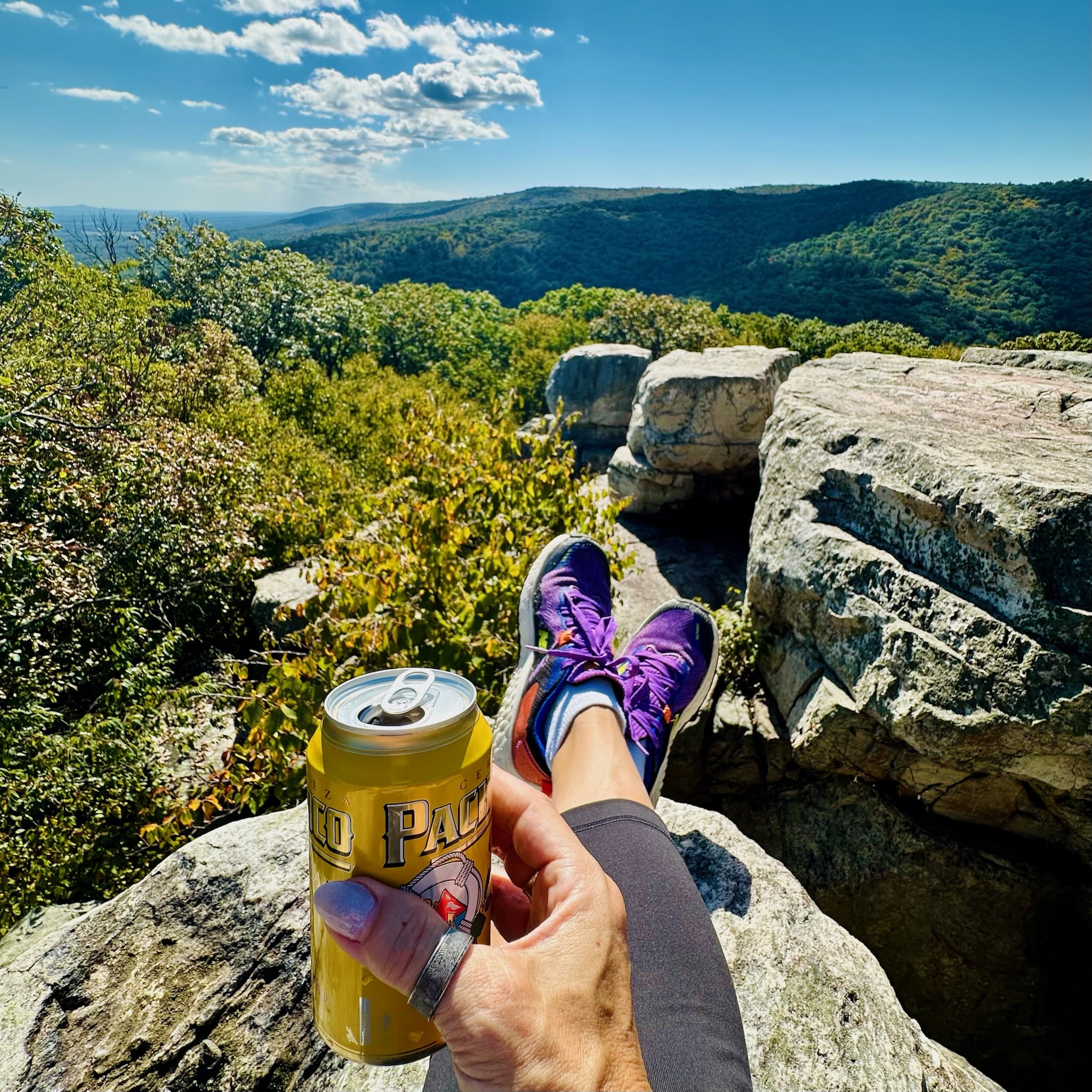
Cat Rock is a rocky outcropping at just over 1500 feet. Clearly marked, at this point you’ll be rock scrambling to find a place to sit and enjoy the view.

The rock scramble is not long or far, but intense. Many of the rocks are jagged and you’ll have to search for a good picnic rock.

In spring and summer, the view over the Cunningham Falls tree-covered mountains is beautiful. Bob’s Hill can be seen not far in the distance. Hawks and vultures will likely be soaring overhead.
The Hike Back Down Misery Trail, and Visiting Hunting Creek Lake
The hike returns via the same route you came up. Its mostly downhill and pleasant on the way back.
Once you return to the parking lot, you’ll be just above one of the best features of Cunningham Falls State Park: Hunting Creek Lake.

It’s worth a quick walk down to enjoy the view over the lake. The dam just to your right created this reservoir.
You’ll see plenty of fish, especially if you have polarized sunglasses.
The popular Cunningham Falls Beach is across the lake from your view.
Suggested After Hike stop: Springfield Manor
If you are leaving Cunningham State Park after your hike and heading down Route 15 back to Frederick, Springfield Manor is a perfect place to stop for an after-hike refreshment.

Springfield Manor is not only a great winery, brewery, and distillery but also one of the best inns around Frederick.

