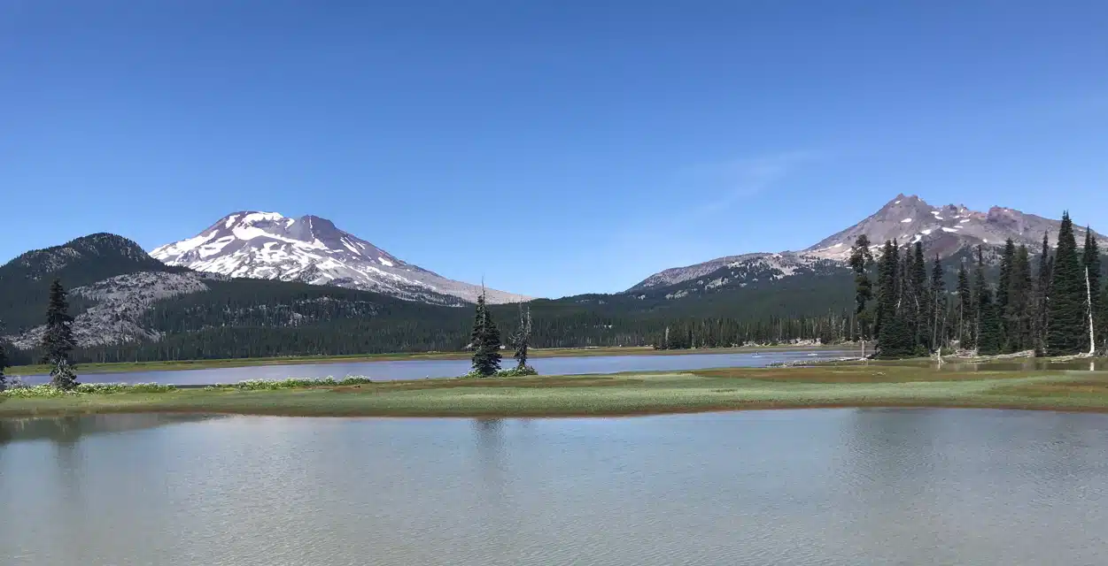
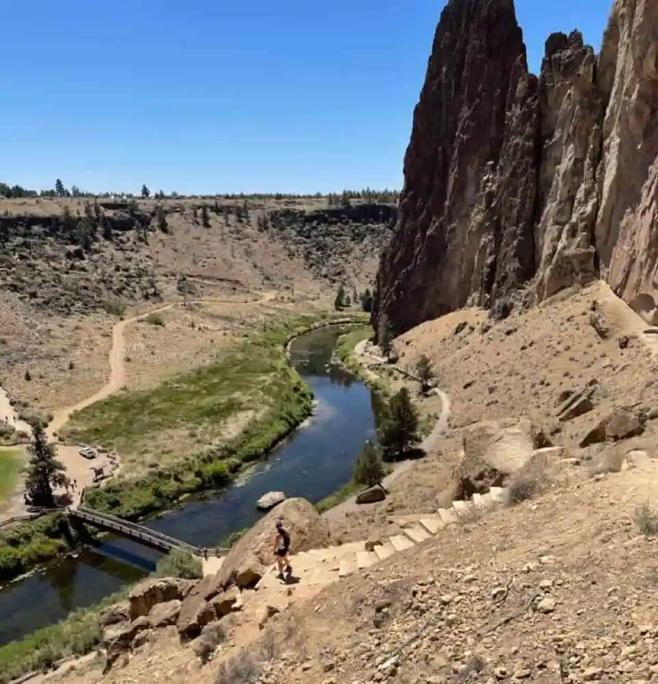
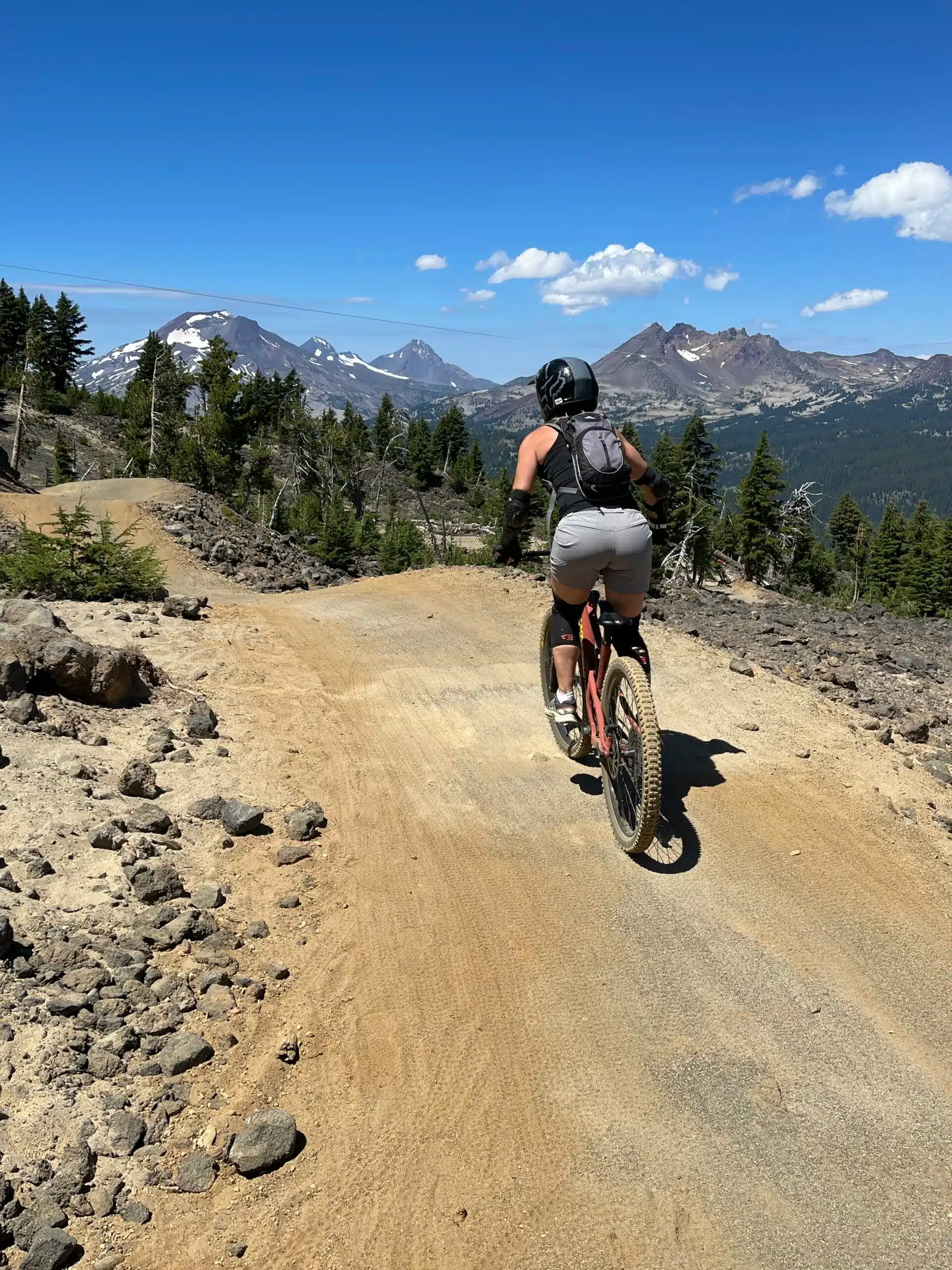
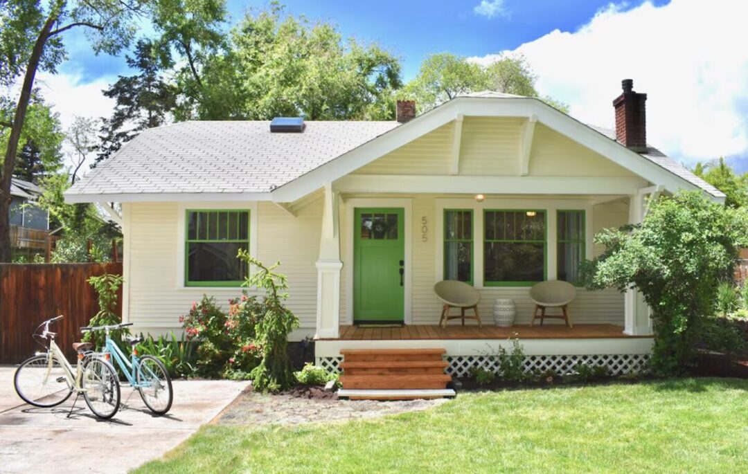
It’s hard to find a place with a greater diversity of amazing hikes than Bend. Of all the fantastic outdoor things to do around Bend, simply heading out on a hike is probably our favorite.
In this article, we list what we consider the Best Hikes near Bend, Oregon, and give you all the info you need to enjoy them as we have.
Keep in mind, building a list like this is impossible. Bend has many of the best hikes in Oregon. Ranking them is subjective, and personal.
Part of the reason there are so many amazing Bend hikes is that there are multiple areas around Bend with beautiful natural scenery.
The Cascade Lakes / Three Sisters Wilderness is a wonderland with enough beautiful hikes to last a lifetime. But the Misery Ridge hike at Smith Rock is also magical and totally different, as are the hikes in the Oregon Badlands.
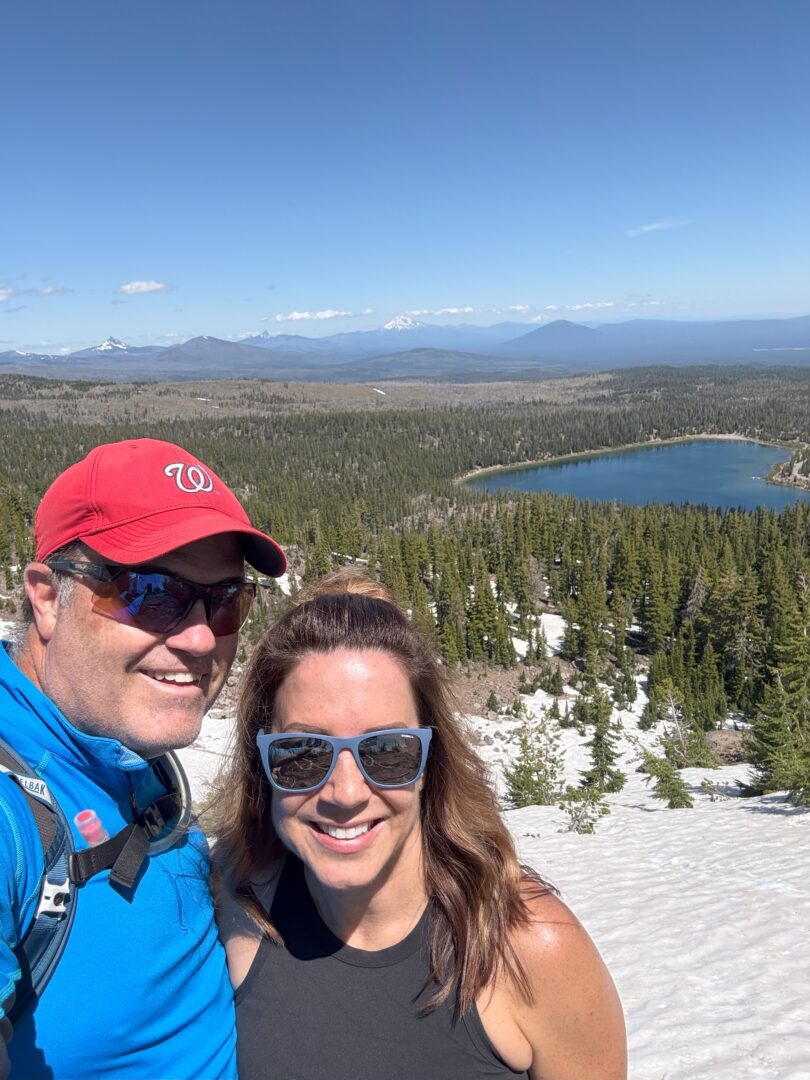
Between the Newberry National Volcanic Monument and the Buttes, Bend’s ancient volcanic history also offers fascinating hiking landscapes.
Plus, despite being in a high desert environment, there are plenty of hikes near Bend that involve water and getting wet.
Rankings: Best Hikes Near Bend Oregon
Did we miss a place? Did we rank something too high or low? Let us know in the comments.
(Disclosure: This post contains affiliate links. If you book or purchase through them, we may earn a commission at no extra cost to you.)
Map of Hikes Near Bend Oregon
Things to Consider When Hiking Around Bend
Before we get into our favorite hikes around Bend, here’s some important general information about these hikes that will help you prepare.
Weather. Bend enjoys a high desert climate, which means plenty of clear days and bountiful sunshine. But Bend does get storms in both summer and winter, and they can be severe. Check the weather forecasts in advance, especially if you are heading on an extended hike deep into the backcountry.
Parking. Depending on the hike you choose, the parking situation at the trailhead can be busy. In the Cascade Lakes area, where many of the Bend hikes below begin, parking lots at trailheads fill up very fast on weekends. Get there early and be ready with a backup plan if your planned parking lot is full. Also, read below for more on parking permits.

Seasons and Snow. The conditions of the hikes listed below can vary tremendously throughout the year. Some higher elevation areas like the Cascade Lakes/Three Sisters Wilderness are under snow virtually from fall until late spring.
Summer time is amazing and usually great for all the hikes below. For other times during the year, the best advice is to check online the status of roads, parking lots, and trails before heading out.
Passes and Permits Needed for Hiking Around Bend
Understanding the appropriate pass and permit needed for parking and simply accessing a hiking area is important and can be confusing, especially for visitors. So here is a summary of the various permits that might be needed, and for each hike below, we indicate what you will need.


Post Hiking Rewards - Bend Breweries!
Another great thing about hiking in Bend? The post-hike beer at a Bend brewery! Besides hiking, Bend is known for beer, so plan which brewery fits your day hike itinerary in advance.
So, you’re ready to go for a hike in Bend! Below is our updated list of favorite hikes in the Bend area.
1. Green Lakes / Soda Creek Loop Hike
Rating: Difficult
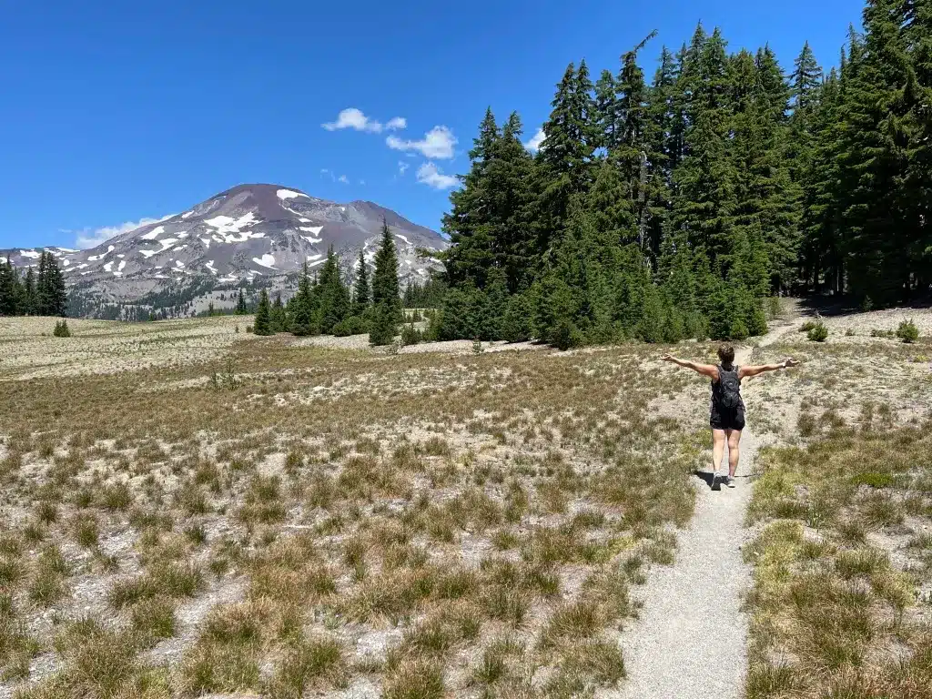
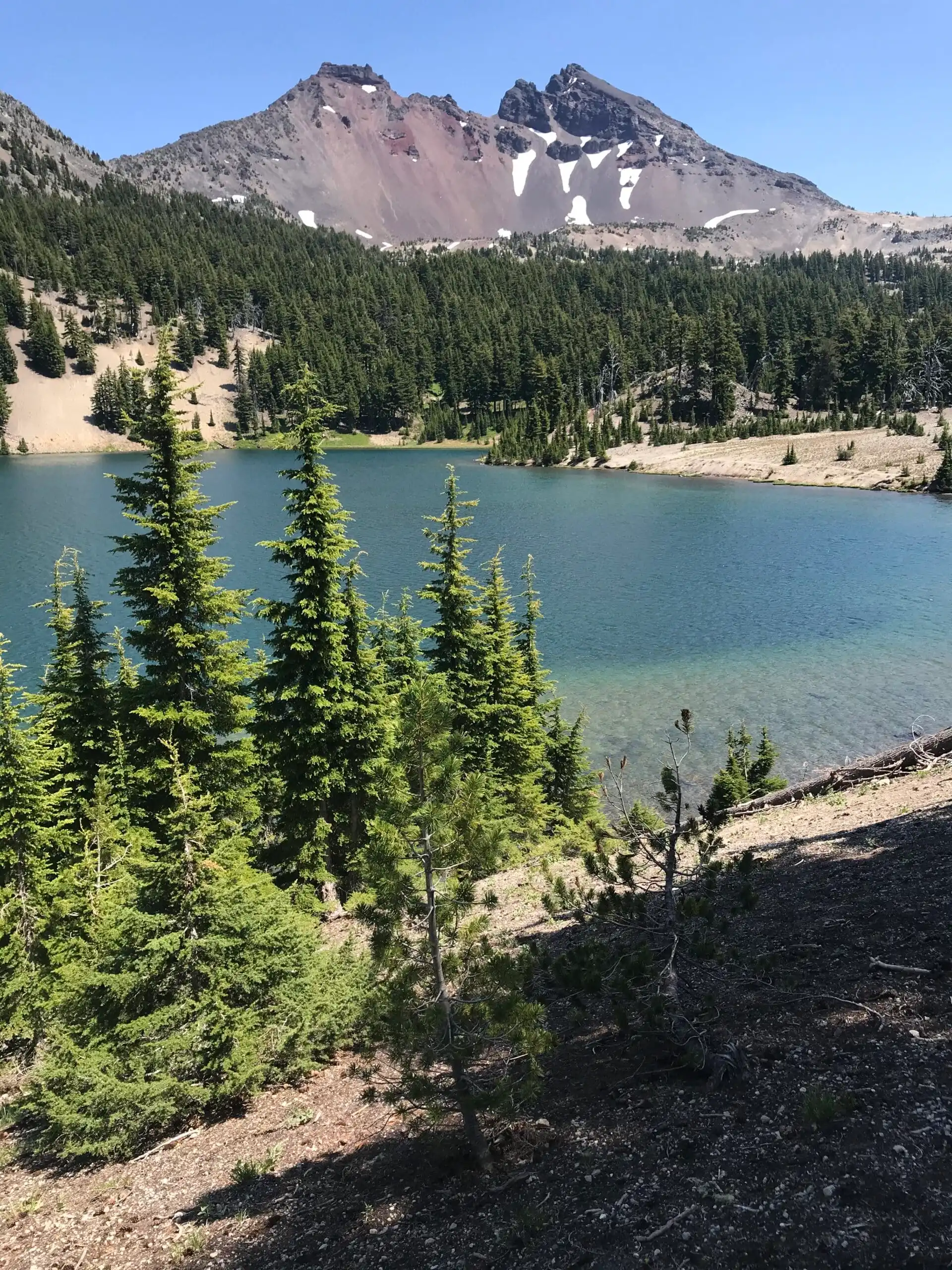
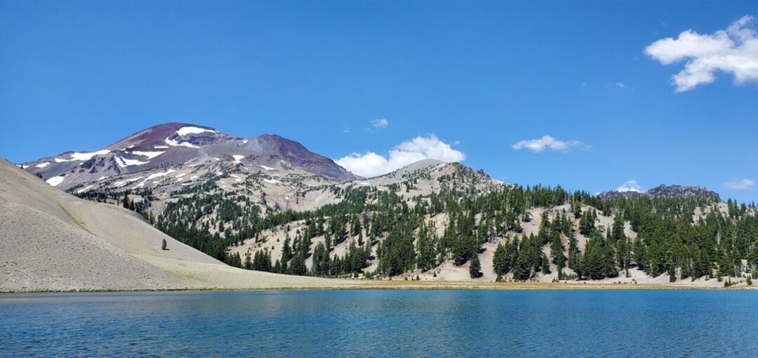
Why Do It: This is our favorite loop hike in our favorite area around Bend, the Cascade Lakes region. The Green Lakes are stunning and symbolic of the gorgeous lakes in the high country above Bend.
While there are several routes to reach Green Lakes, we suggest the Green Lakes / Soda Creek Loop Trail. This is a rather long hike, but a stunner that makes a loop starting and ending from the Green Lakes trailhead.
This hike also offers plenty of views of South Sister, Broken Top, and Mount Bachelor. An optional 2.1-mile spur to Moraine Lake is highly recommended.
This is a popular trail starting from a busy parking lot, so plan accordingly. You’ll need a Day Pass or Northwest Forest Pass to park and a Central Cascades Wilderness Permit to hike between June 15 and October 15.
-
 Green Lakes Trailhead
-
 USDA Web LInk
- 12.5 Miles (5-6 Hours)
- Elevation Gain 1,600 Feet
- Day Parking Pass Required
- Wilderness Permit Required June 15 - October 15
2. Tam McArthur Rim Trail
Rating: Difficult
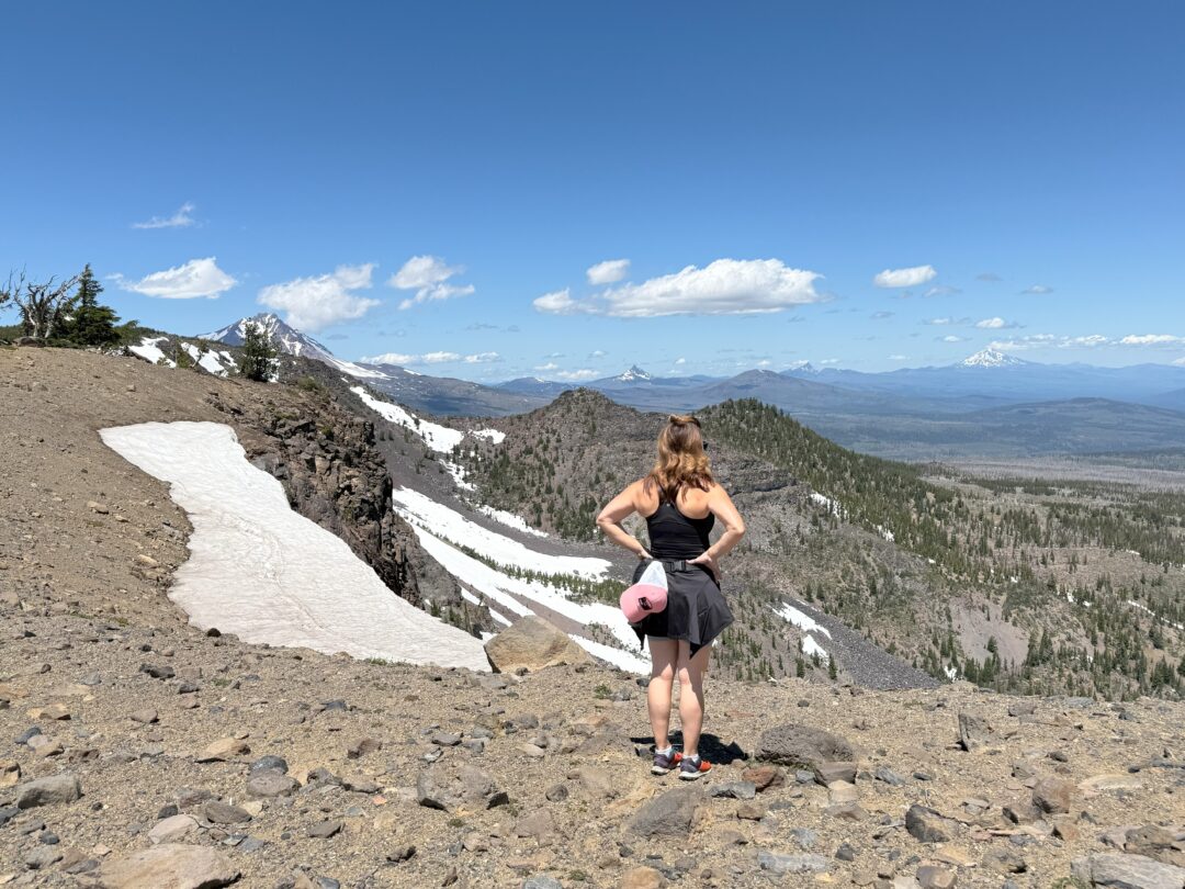
Why Do It: You could easily rate this the most epic hike near Bend, or in all of Oregon. No other hike gives you the experience of being in the Three Sisters Wilderness and views of so many stunning peaks as the Tam McArthur Rim hike.
The hike starts from Three Creeks Lake (beautiful itself), at high elevation, and only goes higher. This means snow along the trail, even into late summer.
But the views of Broken Top, the Three Sisters, and Mt. Bachelor are stunning. On a clear day, Nicole and I have easily seen Mt. Washington, Three-Fingered Jack, Mt. Jefferson, Mt. Hood, and Mt. Rainier. Fabulous!
If you can get a wilderness pass late in summer for this hike, do it!
-
 Three Creek Lake Trailhead
-
 OregonHIkers.org Web Link
- 5.2 Miles (3-4 Hours)
- Elevation Gain ~1,200 Feet
- Day Parking Pass Required
- Wilderness Permit Required June 15 - October 15
3. Smith Rock - Misery Ridge Loop Trail
Rating: Difficult
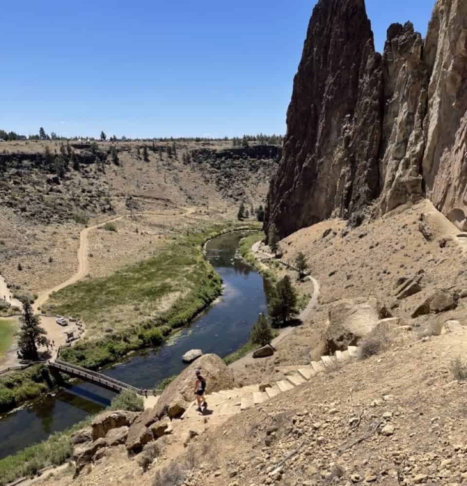
Why Do It: The Bend area has so many phenomenal hikes in beautiful places. But you’d be hard-pressed to find a more stunning area than Smith Rock State Park. The Misery Ridge Loop Hike at Smith Rock is the signature hike in the area, and if you are a visitor to the Bend area, it’s a must-do.
It’s a challenging hike, with almost 1,000 feet in elevation gain up and over the Misery Ridge. But the total distance is not too bad (about 4 miles), and the rewarding viewpoints make it all worthwhile.
The Smith Rock area has a distinctive terrain shaped by the Crooked River. The top is a great place to eat lunch, and on the back side, you’ll see the interesting Monkey Face rock and likely lots of rock climbers.
This hike starts and ends at Smith Rock State Park’s main parking lot and trailhead. You need an Oregon State Park Pass, which you can buy in advance or onsite.
-
 Smith Rock State Park
-
 OregonHIkers.org Web Link
- 4 Miles (2-3 Hours)
- Elevation Gain ~1,000 Feet
- Trail Map
- Oregon State Park Pass
Need A Place to Stay in Bend?
4. Broken Top and No Name Lake
Rating: Difficult
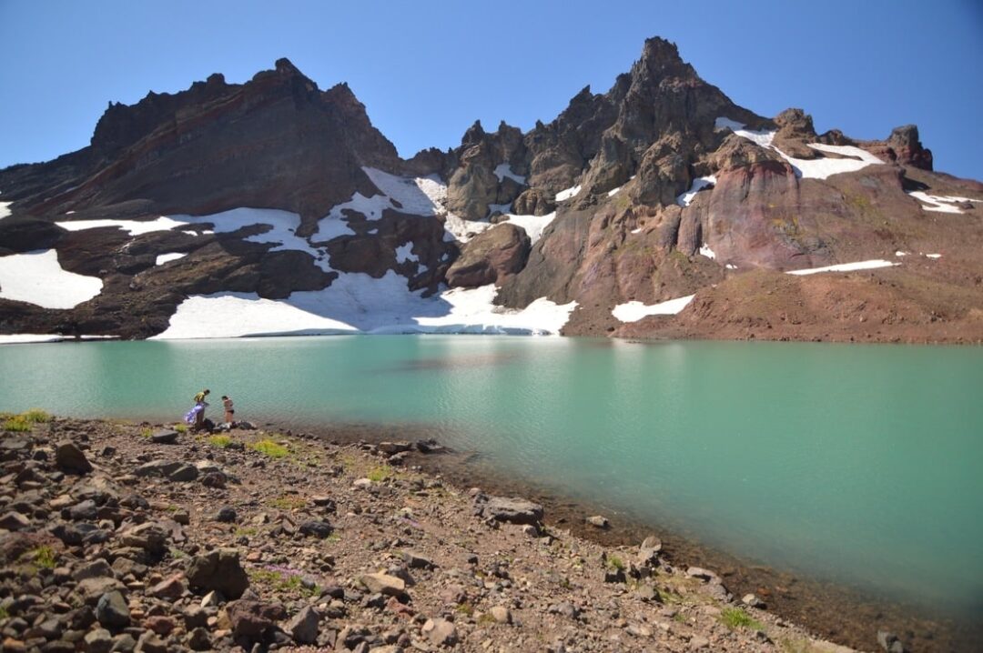
Another hike in the Three Sister Wilderness. Broken Top is a peak that lies just underneath the Three Sisters, which contain the glacier-fed green No Name Lake at the summit. A stunning hike with amazing views.
The hike is challenging. You’ll do about 6 miles out and back and climb 1,400 feet up Broken Top Mountain.
The most challenging part of the hike might be getting to the trailhead. The Broken Top Crater Trailhead sits on a poorly maintained forest road that is often closed. If it’s open, you’ll need a high-clearance vehicle to drive there.
You can alternatively do this hike from the Todd Lake Trailhead, but this almost doubles the hike’s distance.
You’ll also need a Cascades Wilderness Permit for this hike from June 15 to October 15.
-
 Broken Top Crater Trailhead
-
 AllTrails Web Link
- 6 Miles Out/Back (3-4 Hours)
- Elevation Gain ~1,400 Feet
- Day Pass Required
- Wilderness Permit Required June 15 - October 15
5. Ray Atkeson Trail at Sparks Lake
Rating: Easy
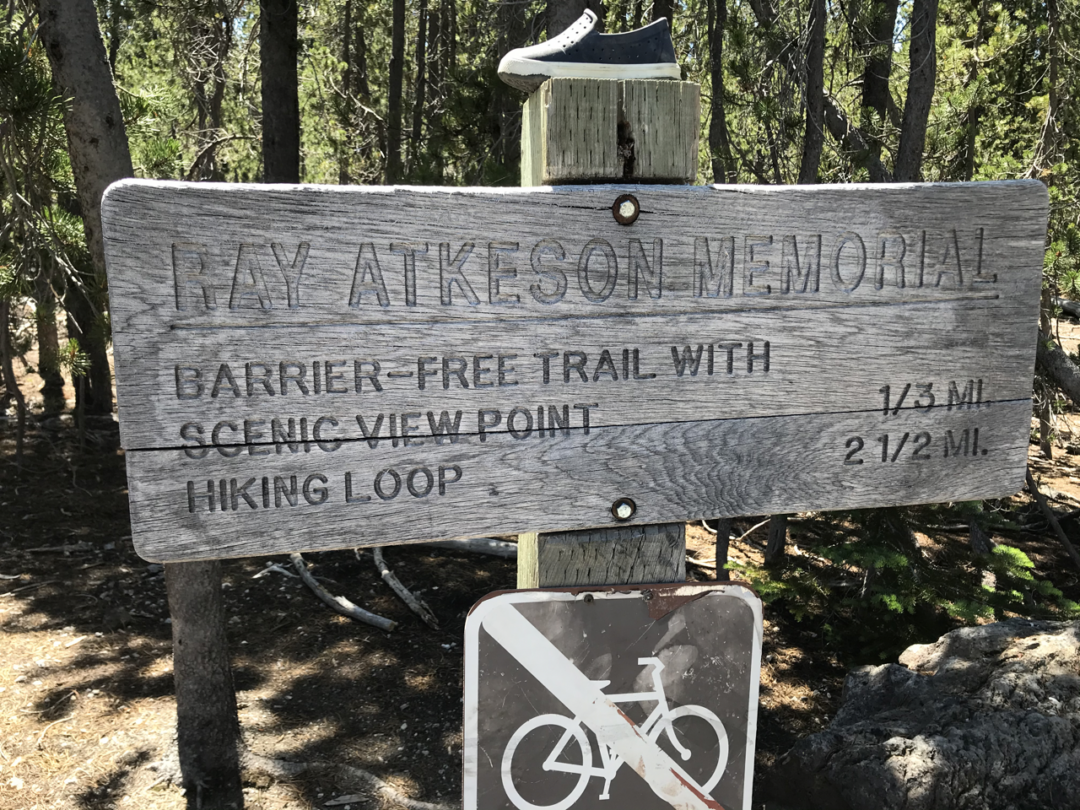
Why Do It: For an easier hike that also provides a great introduction to the Cascade Lakes area near Bend, check out the Ray Atkeson Loop Trail at Sparks Lake. This relatively easy and short trail packs in a lot of scenery.
Sparks Lake is one of the prominent Cascade Lakes, and on this trail, you pass multiple vistas over the lake with South Sister and Broken Top in the distance. The trail itself travels through lodgepole pine, and you’ll notice interesting lava-formed rocks.
The Ray Atkeson Trail actually has multiple loops. You can decide which ones to do or do both of them. This trail starts from the Sparks Lake Day Use area, which can get crowded during busy times, and you’ll need a day-use parking pass.
-
 Ray Atkeson Trailhead
-
 OregonHikers Web Link
- 2.5 Miles Loop (1.5-2 Hours)
- Elevation Gain ~150 Feet
- Day Parking Pass Required
6. Deschutes River Trail
Rating: Easy
Why Do It: The Deschutes River Trail is another trail that almost anyone can hike. It is well-maintained and follows the Deschutes River throughout the entire Bend area.
This trail offers an endless number of routes and hikes, as it’s accessible from 8-10 spots within the Bend area. A popular place to start is the Meadows Day Use Area in south Bend. From here, you can hike further south toward Dillon Falls and Benham Falls or north toward town.
Old Mill, Tumalo State Park, and Dillon Falls are other popular places to access the trail and begin a hike.
Most of the trail is relatively flat, though you’ll climb to an occasional overlook.
-
 Meadow Day Use Area
-
 USDA Web Link
- Distance: Varies
- Elevation Gain: Very Little
- Day Parking Pass Required
Planning a Trip to Bend?
We are locals! Let’s us guide and ensure you get the best deals.
Top Rated Hotels in Bend
- Best Overall Hotel. Oxford Bend Hotel
- Best Luxury Hotel. Tetherow Resort
- Best Boutique Hotel. McMenamis Old St. Francis School
- Best Budget Hotel. Best Western Bend North
- Best Rustic Hotel. LOGE Bend
Looking for a rental? Check out the best Airbnb and VRBOs in Bend.
Book Adventure Tours in Bend
7. South Sister Summit
Rating: Very Difficult
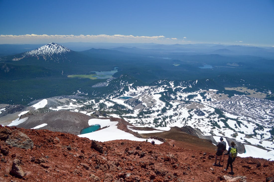
Why Do It: Only for advanced hikers! South Sister is the third-highest peak in Oregon, and it can be hiked without requiring technical climbing skills. However, the hike is no joke – a 12+ mile adventure with 5,000 feet of elevation gain. There is scrambling, switchbacks, and sandy areas…enough to challenge even strong hikers.
If you are up for it, can plan accordingly, and are acclimated, you’ll be rewarded with an epic hike. The views are tremendous, and from the summit, it feels like you can see the entire Cascade range, including Mount Jefferson, Mount Hood, and Mount Adams. (Many of the same peaks you see when flying into Redmond/Bend.)
You’ll want to start early, bring plenty of water, and bring high-energy snacks for this trek. Check the weather in advance and watch it carefully; this is one hike you don’t want to be on during a storm.
-
 Devils Lake / South Sister Trailhead
- 12.2 Miles Out and Back (6-8 Hours)
- Elevation Gain 4,986 Feet
-
 AllTrails Web Link
- Wilderness Permit Required June 15 - October 15
8. Trail of the Molten Lava (Newberry)
Rating: Easy
Why Do It: The Newberry National Volcanic Monument is one of the a must-do active ities in Bend. It’s a place of natural wonder shaped by volcanic eruption 75,000 years ago.
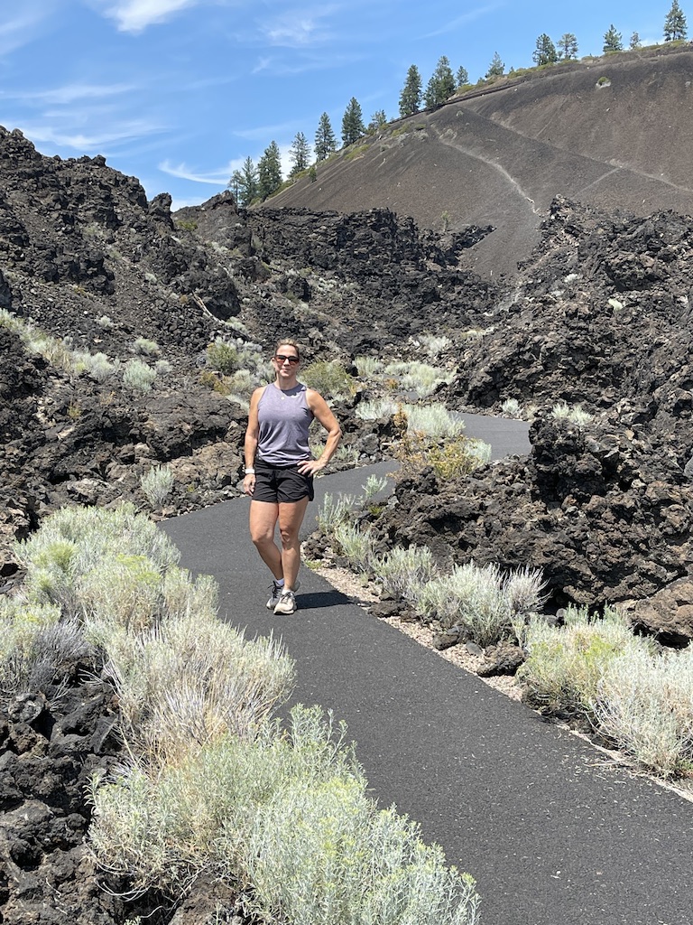
There are a series of trails in the area, but an easy trail that gives you a great introduction to the area is the paved Trail of the Molten Lava. The short ~1 mile trail starts and ends from the Lava Lands Visitor Center and is suitable for anyone (approximately 1/3 of the trail is universal accessible).
You’ll see fascinating landscapes with interpretive signs that tell the ancient history of how these lands were created. Along the way, there’s a great viewpoint of the Cascade Range in the distance.
-
 Lava Lands Visitor Center
- ~1 Mile Out and Back (1 Hour)
- Elevation Gain ~100 Feet
-
 USDA Web Link
- Day Pass, Northwest Forest Pass
9. Matthieu Lakes Loop Trail (via PCT)
Rating: Moderate
Why Do It: This is another loop hike in the Three Sisters Wilderness, but in a very different area with a different vibe. Departing from Lava Lake Camp Trailhead, about 1 hour northwest of Bend, this hike utilizes the Millican Crater Trail, Lava Camp Lake Trail, and the Pacific Crest Trail (PCT) to create a stunning loop trail.
You’ll encounter ancient lava flows, both the South and North Matthieu Lakes, and gorgeous vistas that give you a feel for what hiking the PCT is all about. On clear days, Mount Hood, Mount Jefferson, Mount Washington, and Three-Fingered Jack can all be seen.
Insect repellant is recommended, and a wilderness pass is required if you do this hike between June 15 and October 15.
Both lakes have designated campsites if you want to turn this hike into a backpacking trip.
-
 Lava Lake Camp Trailhead
- ~6 Mile Loop (3 Hours)
- Elevation Gain ~900 Feet
-
 AllTrails Web Link
- Wilderness Permit Required June 15 - October 15
10. Pilot Butte
Rating: Moderate
Why Do It: One of Bend’s more interesting topographies is
Pilot Butte, a volcanic cinder cone formed 200,000 years ago that now sits right in the middle of downtown. It serves as a landmark for residents and visitors, orienting them wherever they are in the city.
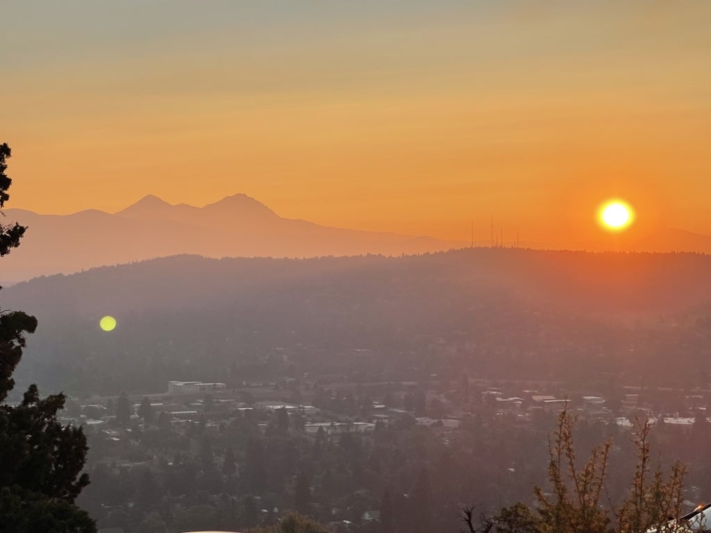
Hiking to the top of Pilot Butte is well worth it. The view of the Cascade Range from there is one of the best in the city, especially at sunset. The hike up is moderately steep but generally not strenuous.
Be warned: You can also drive to the top of Pilot Butte (and many do every day). However, this still makes it a worthwhile hike; parking is easy and free, and you can beat the location (right in downtown Bend!).
-
 Pilot Butte Parking and Trailhead
- ~1.9 Miles Out and Back (2 Hours)
- Elevation Gain ~465 Feet
-
 AllTrails Web Link
- No Pass Needed
11. Todd Lake Loop
Rating: Moderate
Why Do It: If you are looking for an easy hike the whole family can do in the Cascades Lake area, then the
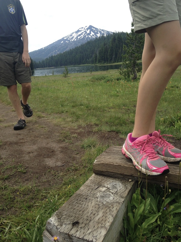
Todd Lake Loop is perfect. Todd Lake is in the same area as Sparks Lake and Devils Lake, a beautiful spot right underneath the Sisters Mountains with gorgeous views of Mount Bachelor.
This was the first hike I took my kids on in Bend. It’s a gentle, short loop around the lake with postcard photos in every direction. While you need a Day Pass or Northwest Forest Pass to park, if you are here in summer, you don’t need a Wilderness Permit as you do in most of the Three Sisters Wilderness.
The Todd Lake area can get crowded quickly, and parking can be tight, so try to get there early.
-
 Todd Lake Trailhead
- ~1.7 Mile Loop (90 Mins)
- Elevation Gain (None)
-
 AllTrails Web Link
- Day Pass, Northwest Forest Pass
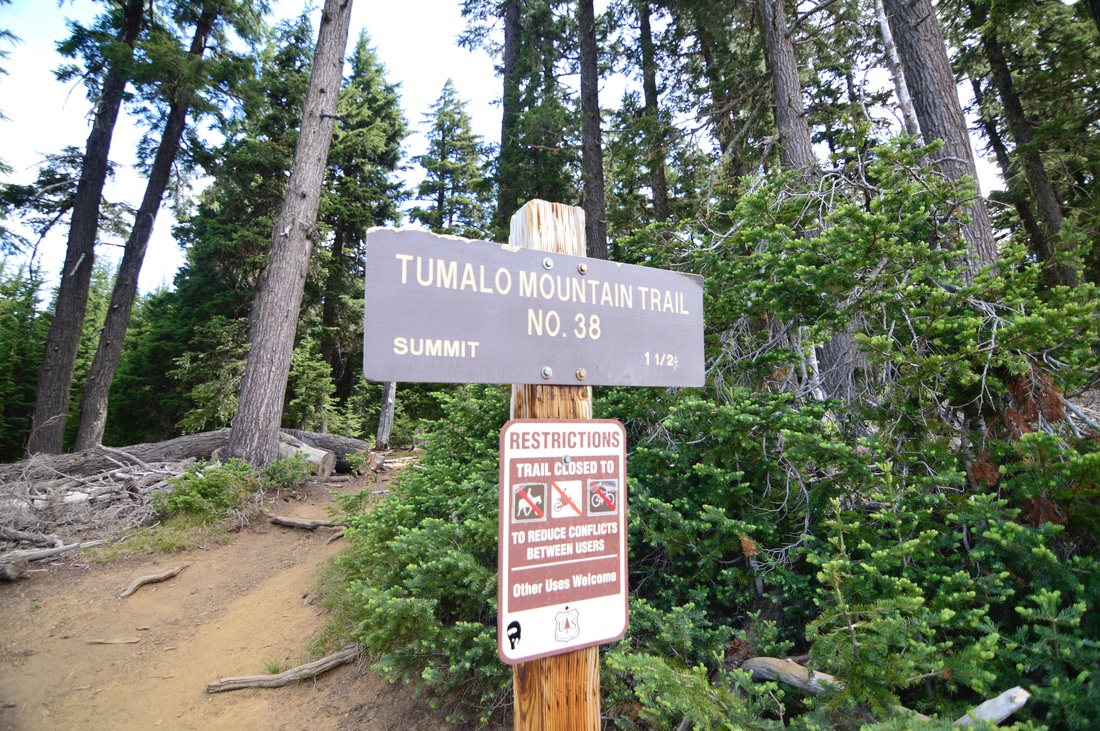
12. Tumalo Mountain
Rating: Difficult
Why Do It: If you don’t mind an intense climb,
Tumalo Mountain is a classic Bend hike with dramatic, rewarding views. Tumalo sits basically across from Mount Batchelor, and the summit views of Batchelor, Three Sisters, and Broken Top are iconic.
The two-mile climb to the top feels straight up; you’ll climb 1,400 feet up this volcanic peak. Tumalo is a trendy winter snowshoe venue, and while I’ve never done it, locals rave about the experience of snowshoeing up Tumalo on a crisp winter day.
Parking for the trailhead is located at the Dutchman Sno-Park, which requires a permit from November to April.
-
 Tumalo Mountain Trailhead
- ~4 Miles Out and Back (2-3 Hours)
- Elevation Gain 1,400 Feet
-
 AllTrails Web Link
- Only Winter - Sno-Parks Pass
13. Steelhead Falls
Rating: Easy
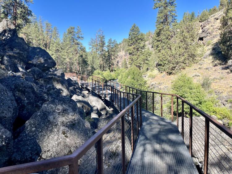
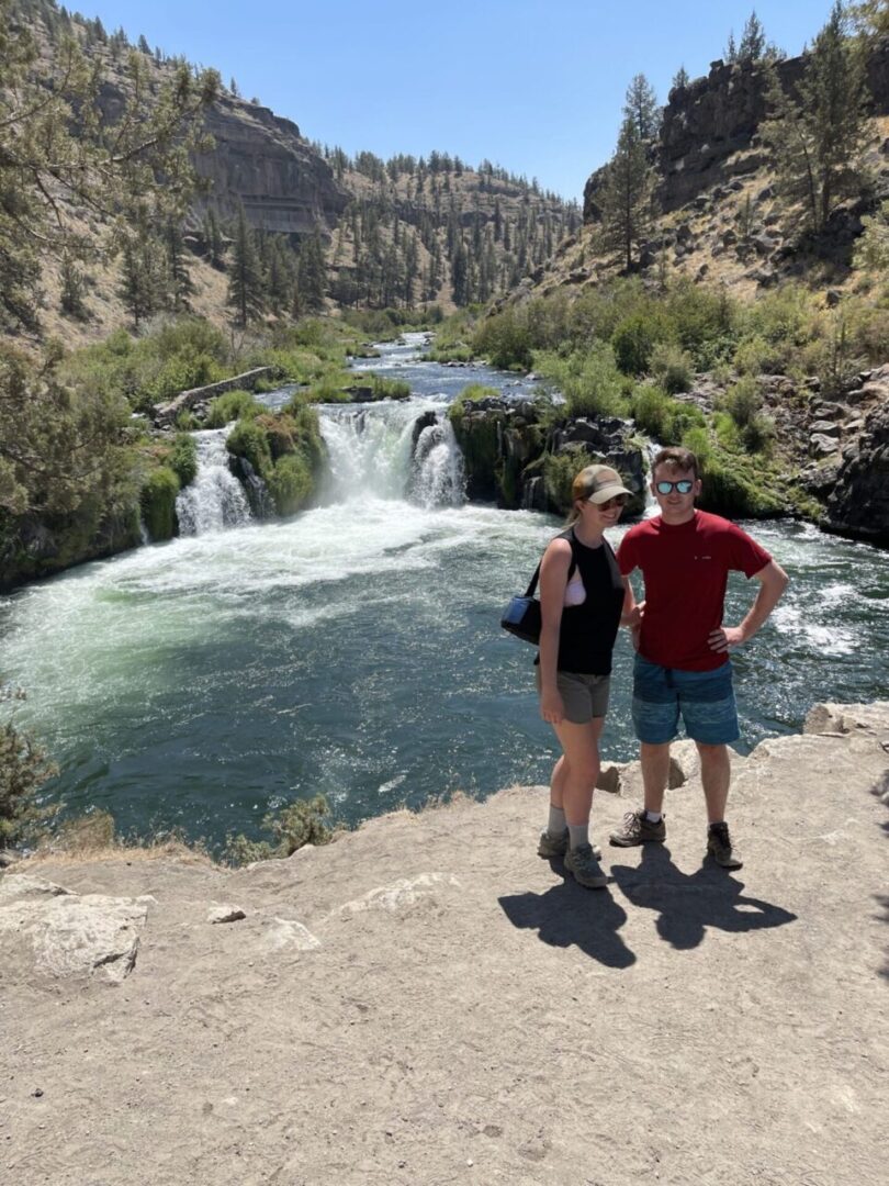
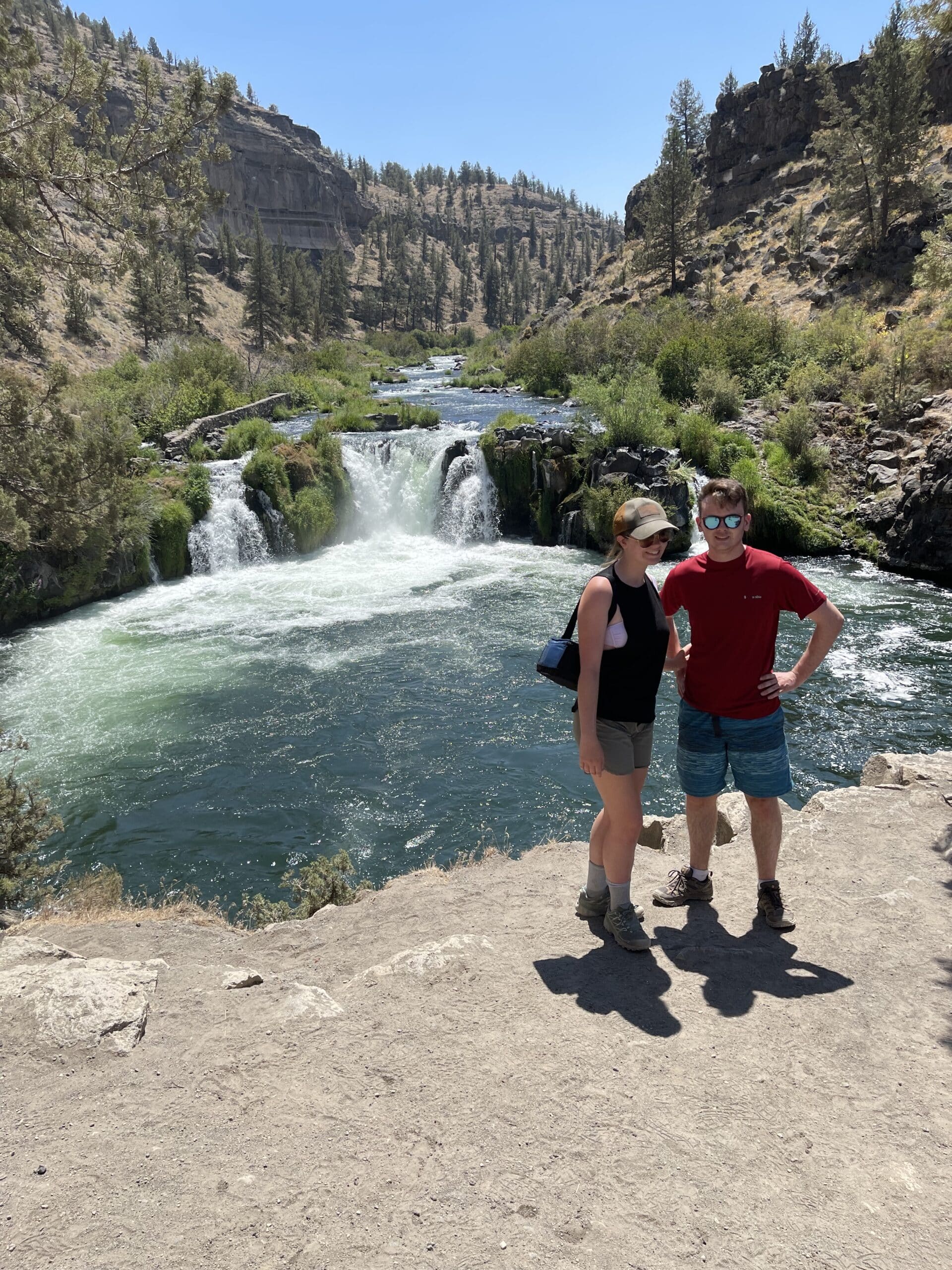
Why Do It: More of an excursion than hike, Steelhead Falls is an off-the-beaten path spot on the Deschutes River that is all about getting wet.
The hike is only about 0.5 miles long and starts just west of Terrebonne, north of Bend. It takes you to a beautiful set of falls on the Deschutes and one of the best swimming holes in Central Oregon.
Do this on a warm day, bring a picnic and your swimwear. You can cliff jump into the water, swim up to the falls, and explore the canyon. There’s an option to continue down the trail down the river if you want to enjoy more
The hike, water, and scenery make Steelhead Falls is one of the best excursions around Bend.
-
 Steelhead Falls Trailhead
- ~0.5 Miles Out and Back (30 Mins)
- Elevation Gain (140 Feet)
-
 Bureau Land Management PDF
- Only Winter - Sno-Parks Pass
Want More of the Best of Bend, Oregon?
Read Detail Reviews on the Best Hikes Near Bend OR!
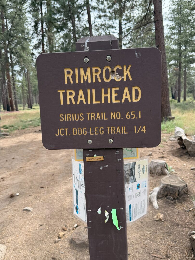
The Rimrock Trail in Bend has several perfect loops for hiking, biking, or getting out with your dog. All without really …
Steelhead Falls is yet another amazing excursion close to Bend for hiking, swimming, cliff diving, and more.
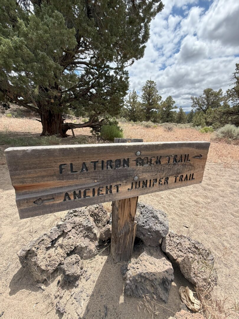
The Oregon Badlands are an other-worldly, volcanic wilderness near Bend. The Ancient Juniper and Flatiron Rock Loop Hike is a Great …
Read Why the Green Lakes Hike Near Bend Oregon is the Can't Miss Hike in the Area. A Dreamy Mountain and …
Read about the best way to see Sparks Lake via the Ray Atkeson Memorial Trail. This is a classic and stunning hike …
The Misery Ridge Trail at Smith Rock State Park is one of the best day hikes around Bend Oregon.

