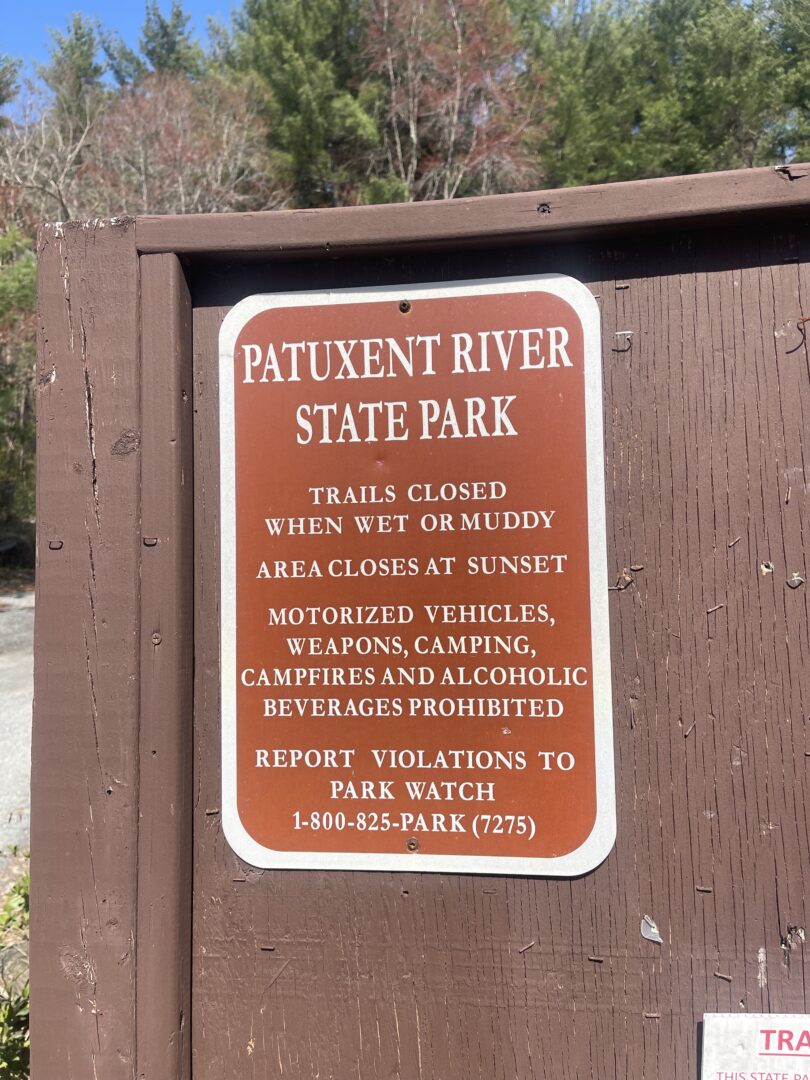
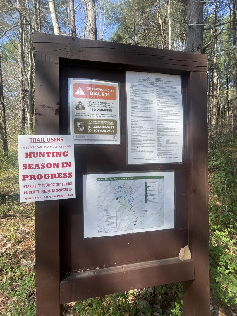
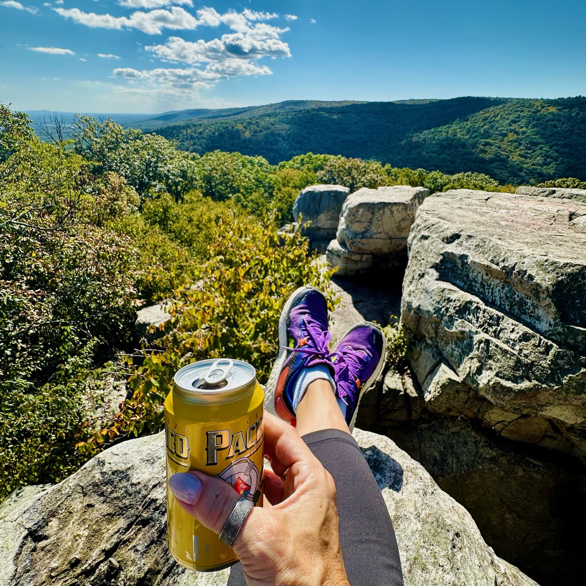
Are you looking for your next hiking adventure near Frederick? Let us share a recent Patuxent River State Park hike, which has quickly become one of our favorites.
Patuxent River State Park is situated along the upper branch of the Patuxent River and is a well-known destination in Maryland for hiking, mountain biking, hunting, and horseback riding.
Contents: Guide to the Patuxent River State Park Hike
Overview of this Patuxent River State Park Hike
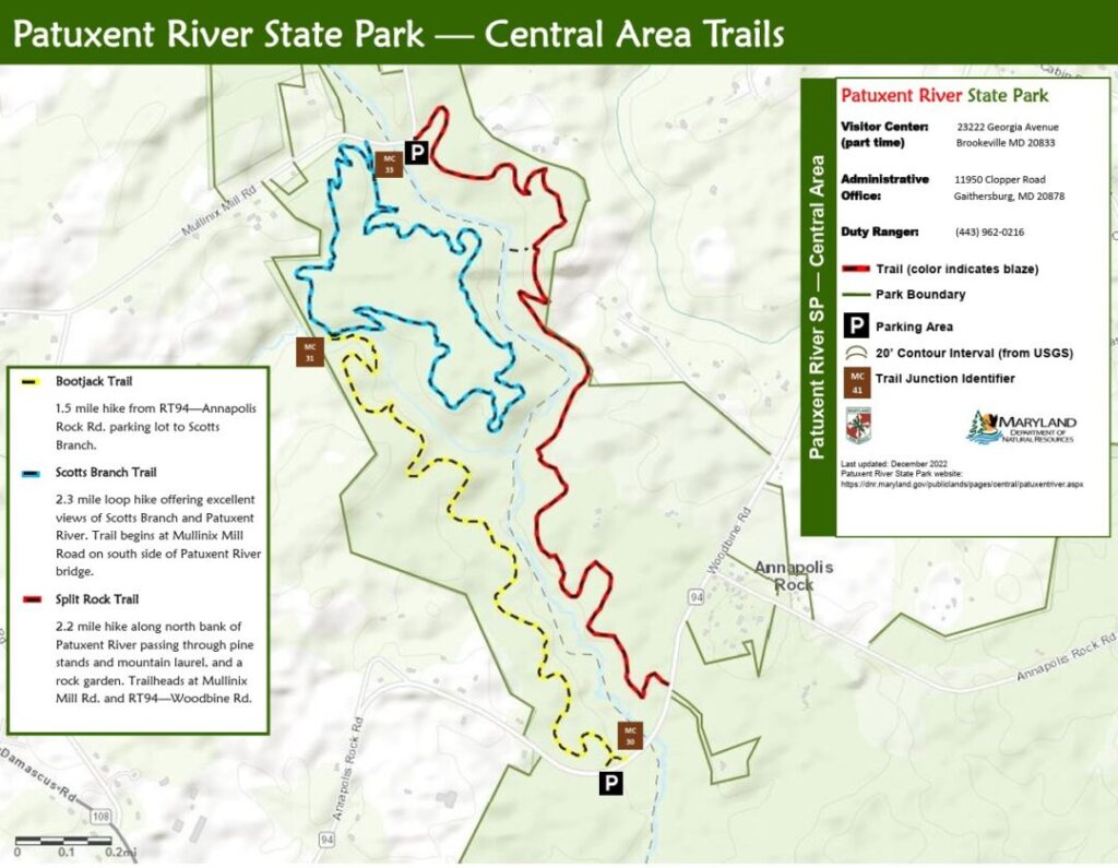
Patuxent River State Park (map) is east of Damascus, straddling Howard and Montgomery counties. It’s a long, extended park with multiple access points and parking areas, and it’s great for a variety of activities.
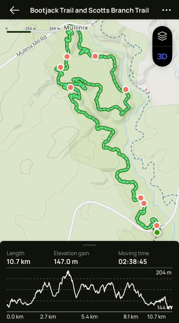
Our recommended hike utilizes two main trails, the Bootjack Trail and Scotts Branch Trail, to create a combination loop/out-and-back ~6.5-mile hike.
- Trailhead: Route 94 Parking Lot Trailhead (see below)
- Distance From Frederick: ~24 miles, 35 Minutes
- Fee and Passes: Free, no pass needed
- Parking: Small Parking Lot (read below)
- Total Distance: 6.5 Mile (10.7 Km) Loop
- Duration: ~3 Hours
- Elevation Gain: 483 feet
- Difficulty: Moderate
- Dog Friendly: Yes, permitted on leesh
Hiking in Patuxent River State Park: Know Before You Go
- This is considered a moderate hike. Although it is over 6 miles long, there is little elevation change, and it is generally not strenuous.
- This hike took Nicole and me ~3 hours to complete.
- Wear quality footwear. Hiking shoes or boots are preferable. Sneakers are okay, but sandals or flip-flops won’t work.
- You will cross a stream, and water level can change. Waterproof shoes are recommended.
- Take plenty of water. There is no water on the trail.
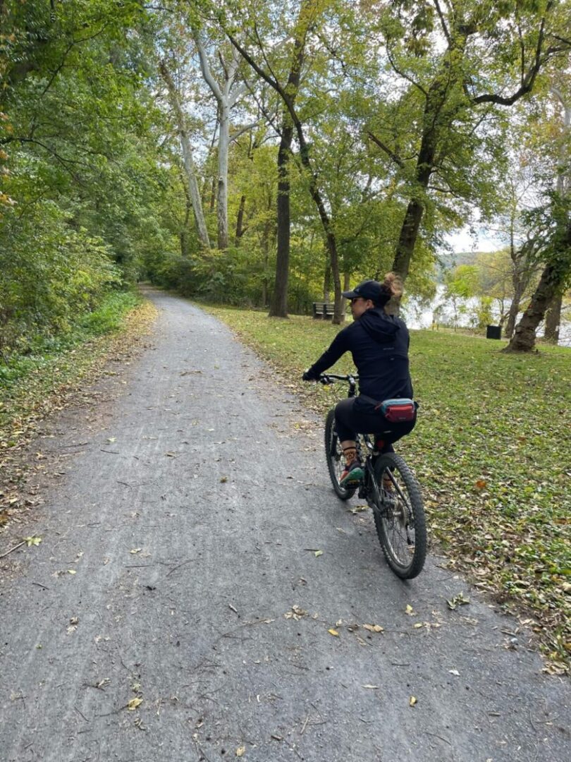
- This is also one of the better mountain biking trails around Frederick. Be ready to share the trail with mountain bikers.
- Pets are allowed on leash
The Tall, Beautiful Pines of the Bootjack Trail
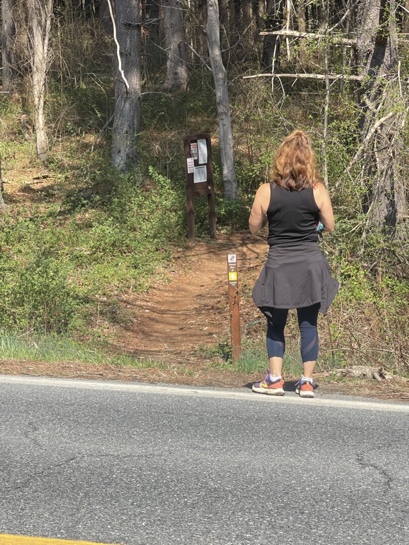
This hike begins by crossing the road from the parking lot and proceeding to the trailhead for the Bootjack trail.
(FYI, I researched and badly wanted to find a connection between the name of this trail and the Bootjack Rye Whiskey from McClintock Distillery. Unfortunately, there seems to be no connection!)
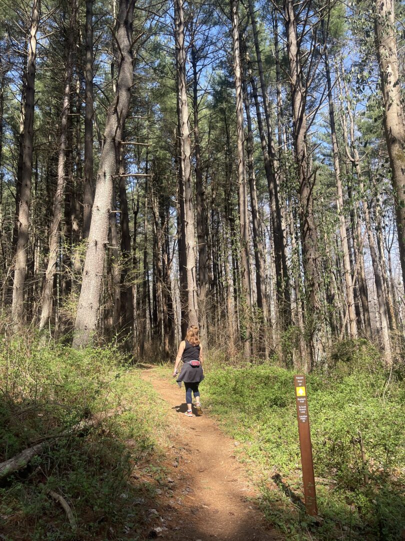
The first section of the Bootjack Trail might be best part of the entire hike. You’ll spend the first thirty minutes wandering through lovely, tall pine trees. It almost made me think I was in Bend.
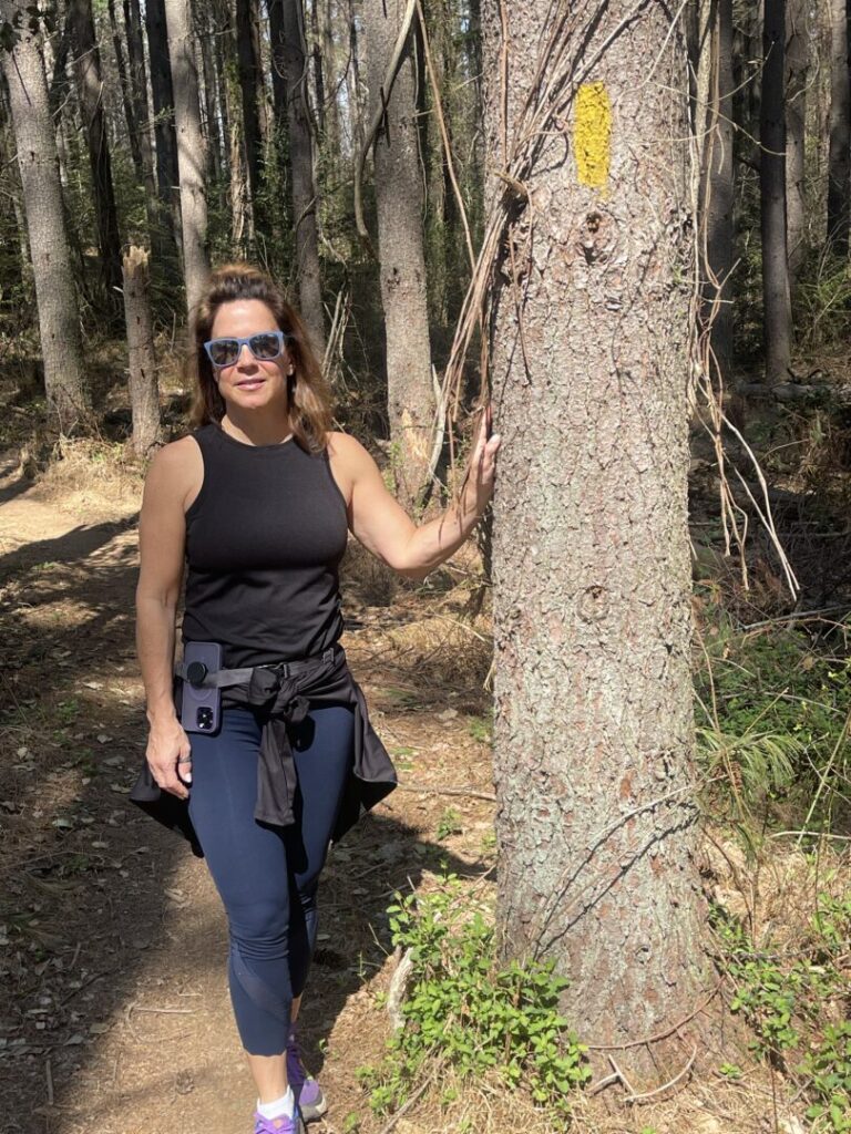
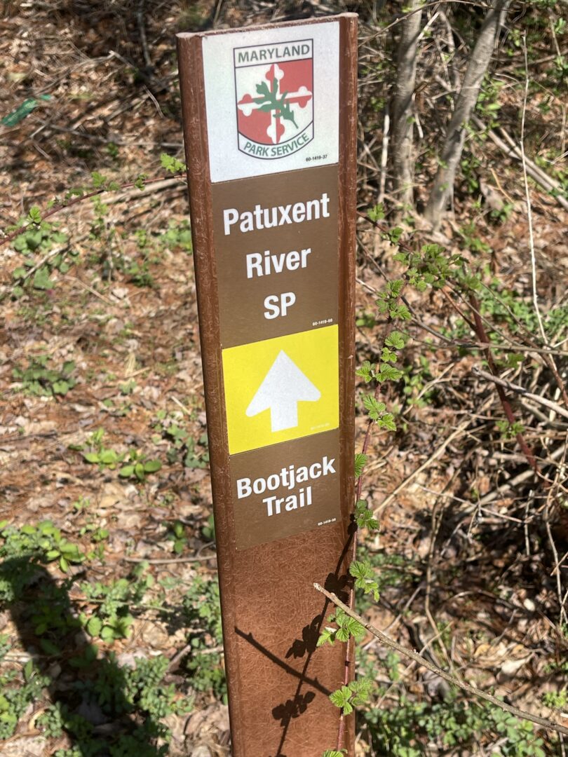
The Bootjack Trail is yellow-blazed. Follow it for ~1.5 miles until it intersects with the Scotts Branch Trail.
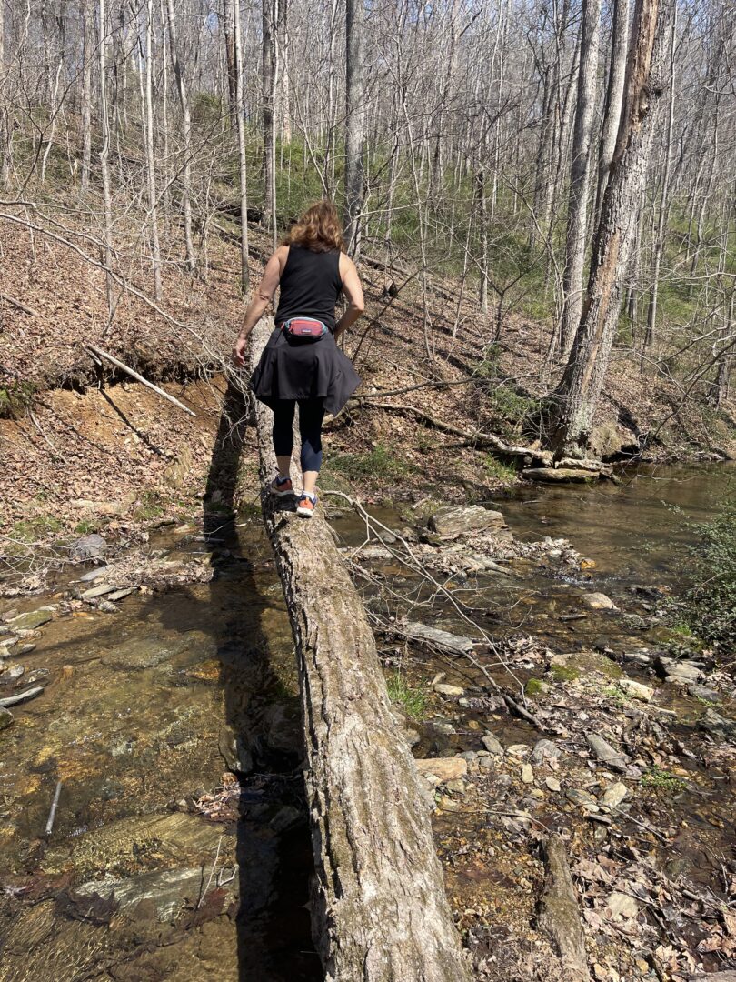
Crossing the Patuxent River Tributary Creek
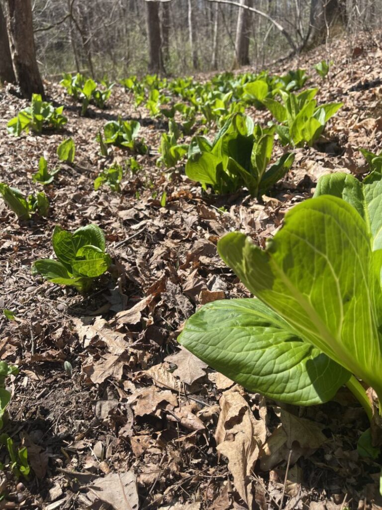
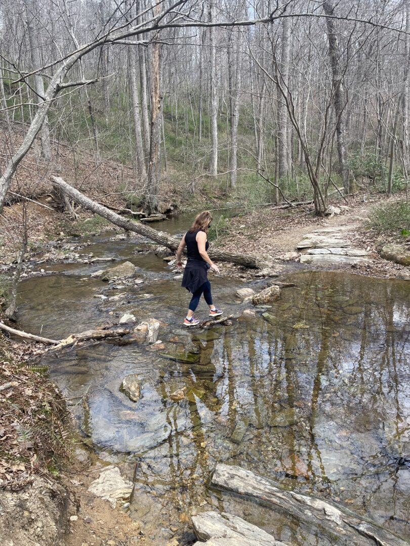
You’ll come to a stream crossing about a quarter mile before reaching this intersection. Note: This is not the Patuxent River! As best as Nicole and I could figure, it’s a small tributary.
We did this hike in spring but during somewhat of a drought in 2025, so the water level was relatively low. Crossing the stream on rocks and logs was easy.
I could easily see this being a more challenging stream cross during wetter times.
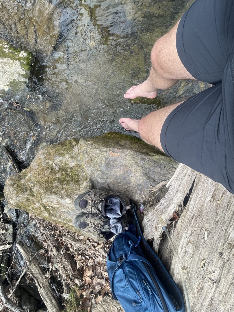
I dipped my tired feet in during the return hike.
Intersection With The Scotts Branch Trail
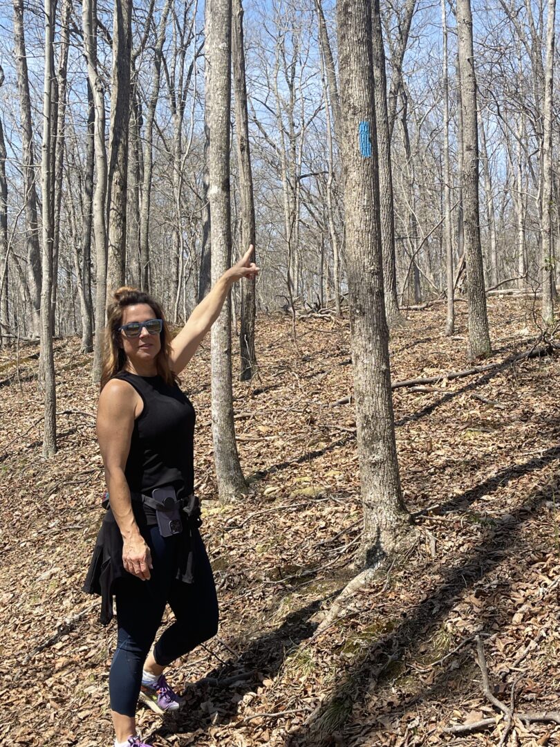
The main thing to know about the intersection between the two trails is that its surprisingly unmarked! We could not find any sign or markings indicating we had reached the Scotts Branch Trail.
But after hiking 1.5 miles, this T-junction clearly meant we were there. The Scotts Branch Trial is also blue-blazed.
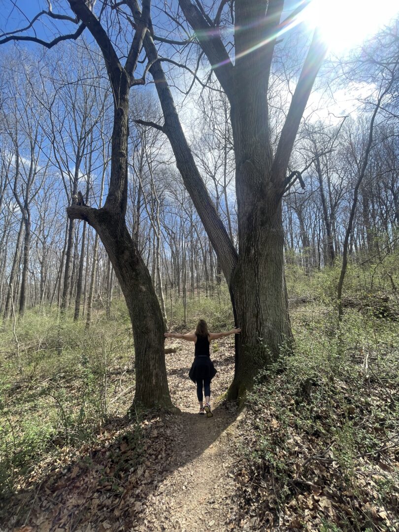
We saw many fly fishermen coming an going during our journey. I will probably return with my fly rod and waders.
Suggested After Hike Beer Stop: Elder Pine Brewing
You just finished a 6+ mile hike. Since you are all the way out past Damascus, make your way to a local brewery when you are finished.
There are several good ones in the area, including Silly Yak Brewing and Stone Silo Brewing.
But we suggest you visit what might be our favorite brewery in all of Maryland: Elder Pine Brewing.
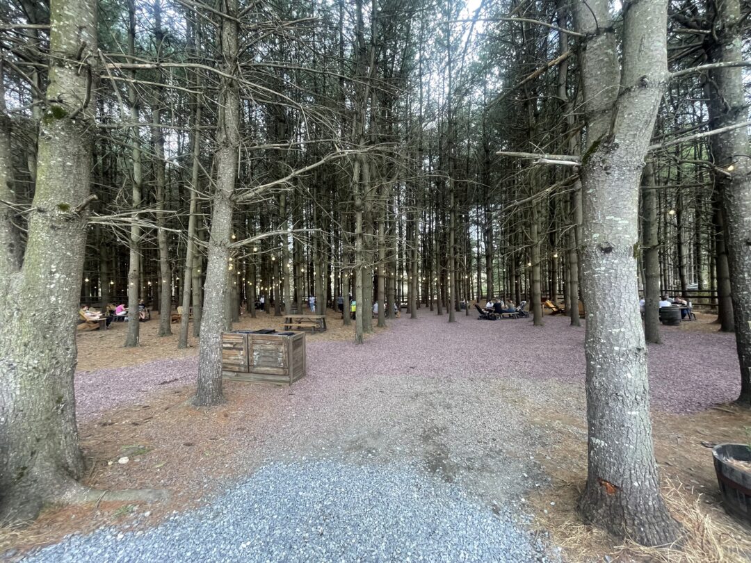
A bonus of visiting Elder Pine is continuing the theme of being under tall pine trees. Only now you are in a beer garden.

